 www.geodatenkatalog.de (S1L)
Contact for the resource
The Federal Maritime and Hydrographic Agency (BSH)
2691 record(s)
Provided by
Type of resources
Available actions
Topics
Keywords
Contact for the resource
Update frequencies
Service types
-
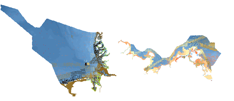
INSPIRE theme Elevation (bathymetry). Provision of the topography of the seabed in the North and Baltic Sea.
-
INSPIRE theme Existing Land Use
-

INSPIRE theme Sea Regions.
-
INSPIRE theme Existing Land Use
-
INSPIRE theme Elevation (bathymetry). Provision of the topography of the seabed in the North and Baltic Sea.
-
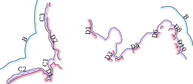
INSPIRE theme Elevation (depth contours). It contains the depth contour of hydrographic surveying.
-
INSPIRE theme Planned Land Use (Marine Spatial Planning). Provision of marine spatial planning exclusive economic zone of Germany.
-
DTM of the German Bight (yearly, 1982 - 2012). Classified isosurfaces of spatiotemporally interpolated bathymetries from the years 1982 to 2012, with two parameters for the purposes of reliability: Confidence and Minimum dt. The parameter Confidence [m] indicates the reliability of the modelled bathymetry. Data were generated within the framework of the German Coastal Engineering Research Council project AufMod ("Aufbau integrierter Modellsysteme zur Analyse der langfristigen Morphodynamik in der Deutschen Bucht" ["Development of integrated model systems for the analysis of long-term morphodynamics in the German Bight"], 01.11.2009-31.12.2012). For more information, please visit: https://gdi.bsh.de/en/data/Bathymetries-German-Bight-1982-2012-Classified-Isosurfaces-Project-AufMod_Information_Bathymetrie_Deutsche_Bucht_1982-2012_klassifizierte_Isoflaechen_-Projekt_AufMod-_DE.pdf
-
Noise emissions during pile driving per area of offshore wind farms (MarinEARS Noise registry) - WMS

Spatial and temporal distribution of noise emissions due to pile driving during the foundation of wind turbines in offshore projects in the German Exclusive Economic Zone EEZ. Source of data: MarinEARS Noise Registry (Marine Explorer and Registry of Sound); visit https://marinears.bsh.de Description of data: Start and end date of the construction phase with noise emissions due to pile driving during the foundation of wind turbines, per area of offshore wind farm visualized by coloration.
-
Shipping areas and navigational rules applicable for passenger ships